Get meteorological data along trajectory
Read trajectory data array from the endpoint data file. Read meteorological data arrays from corresponding meteorological data file. Then interpolate the meteorological data to the endpoint location using interpn function of the data array.
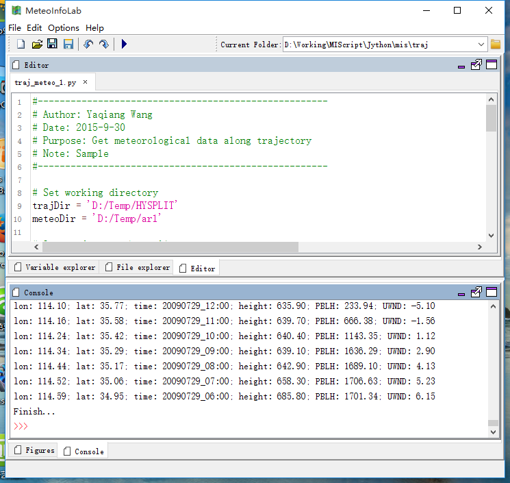
# Set working directory
trajDir = 'D:/Temp/HYSPLIT'
meteoDir = 'D:/Temp/arl'

# Open trjactory data file
print 'Open trajectory data file ...'
trajfn = os.path.join(trajDir, 'traj_20090731')
print 'Trajectory file: ' + trajfn
trajf = addfile_hytraj(trajfn)
# Read coordinates
lons = trajf['lon'][:,:]
lats = trajf['lat'][:,:]
press = trajf['PRESSURE'][:,:]
heights = trajf['height'][:,:]
tt = trajf['time'][:,:]
ntraj, np = lons.shape

# Open meteorological data file
print 'Open meteorological data file...'
meteofn = os.path.join(meteoDir, 'gdas1.jul09.w5')
print 'Meteorological file: ' + meteofn
meteof = addfile(meteofn)

# Get meteorological data along trajectory
print 'Get meteorological data along trajectory...'
outfn = os.path.join(trajDir, 'pblh_traj-1.txt')
outf = open(outfn, 'w')
outf.write('TrajID,Lon,Lat,Time,Heigh,PBLH,UWND\n')
pbldata = meteof['PBLH'][:]
udata = meteof['UWND'][:]
idx = 0
for i in range(ntraj):
    for j in range(np):
        lon = lons[i,j]
        lat = lats[i,j]
        pres = press[i,j]
        z = heights[i,j]
        t = tt[i,j]
        pbl = pbldata.interpn([t, lat, lon])
        uwnd = udata.interpn([t, pres, lat, lon])
        t = miutil.num2date(t)
        print 'TrajID: %i; lon: %.2f; lat: %.2f; time: %s; height: %.2f; PBLH: %.2f; UWND: %.2f' \
            % (i, lon, lat, t.strftime('%Y%m%d_%H:%M'), z, pbl, uwnd)
        line = '%i,%.4f,%.4f,%s,%.2f,%.2f,%.2f' % (i,lon,lat,t.strftime('%Y%m%d_%H:%M'),z,pbl,uwnd)
        outf.write(line + '\n')
        t = t + datetime.timedelta(hours=-1)
    idx += 1

outf.close()
print 'Finish...'